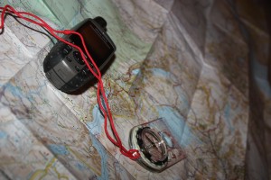
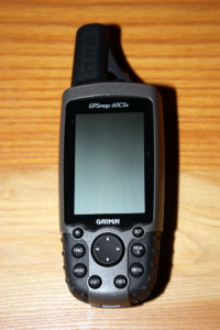
 Electronic equipment has a habit of breaking or changing hands and for this reason we will also be taking paper maps and a compass with us.
We will be using Michelin maps 745 (North East) and 746 (Central and South). Although not as detailed as Tracks4Africa, they have comprehensive coverage of all major roads.
For the European leg of our journey and as a backup for Africa we have a Garmin Nuvi 2595, which came with maps for the whole of Western Europe. First impressions are that it is a really good product with loads of features ranging from Bluetooth with various apps such as weather when connecting to an android phone to voice commands that can even understand our lekker kiff Sarf Efrikkin eccents.

